Papua New Guinea, its geography, regions and provinces
A guide to Papua New Guinea, its four regions and 22 provincial-led divisions.
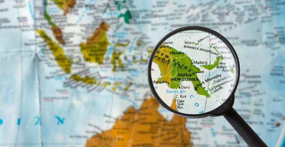
Map of Papua New Guinea through magnifying glass
Papua New Guinea (PNG) consists of the eastern half of New Guinea island, the two large islands of New Britain and New Ireland, more than 600 small islands and the autonomous region of Bougainville.
PNG has a land area of 462,840 square kilometres, slightly more than the US state of California. The country has 17,000 kilometres of coastline and an Exclusive Economic Zone of 2.4 million square kilometres.
The country has a land border with Indonesia to the west and maritime borders with Australia to the south and the Solomon Islands to the east.
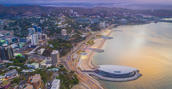
The capital city, Port Moresby, is situated on a spectacular natural harbour on the southeastern coast of PNG’s mainland.
Geography
The terrain of PNG is characterised by spectacularly jagged mountain ranges, deep valleys and rivers in the highlands, and coral reefs and mangrove swamps in coastal regions. Its more than 600 islands are widely spread, and range from small coral atolls to larger, mountainous and volcanic islands.
PNG’s principal rivers include the Fly, Purari, Kikori, Sepik, Ramu and Markham.
Forest and woodlands cover about 80% of PNG’s total land area, and permanent crops about 1.4%.
As a result of its topography and position on the volatile seismic line known as the ‘Pacific Ring of Fire’, PNG has occasional natural hazards, including earthquakes and mudslides.
The highest point is Mount Wilhelm (4509 metres).
PNG in its region
PNG is the largest country and the largest economy in the Pacific Islands region.
The region is divided into three geographical groups: Micronesia in the north, Polynesia in the east, and Melanesia in the west. As well as PNG, Melanesia includes the independent countries of Fiji, Vanuatu and the Solomon Islands, and the French overseas collectivity of New Caledonia.
Including all its islands, PNG is located between 0° and 12° latitudes south, and 140° and 160° longitudes east.
PNG’s regions and provinces
PNG’s 22 provincial-level divisions are divided into four administrative regions:
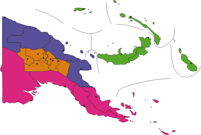
PNG’s regions: Highlands (orange), Islands (green), Momase (purple) and Southern (pink). Republished under CC BY-SA 3.0 licence
Highlands
Islands
Momase
Southern
The National Capital District (NCD) is an administrative district taking in Port Moresby and contained within Central Province.
Bougainville is an autonomous region. A referendum was held in Bougainville in 2019, with about 98% of voters saying they favoured independence from PNG. The vote is non-binding, which means leaders in Bougainville and PNG will have to negotiate the outcome. PNG’s national parliament will have the final say.